Tuesday, December 8, 2015

Mt Madonna and Dog Friendly Trails

Mt. Madonna County Park is serene and gorgeous in late Autumn. Few folks camp at this clean and beautiful campground during this time of year. In our section of the campground, there were only three other campers.


And there were even fewer folks hiking the vast system of trails that traverse the hills of Redwoods, Tanbark Oak, and Eucalyptus trees that make up this wonderful park. We only ran into one man hiking with his two boys on the trails, but there were numerous folks that drove up to see the White Fallow Deer and Henry Miller Estate ruins during our visit. Hearst gave Miller two deer, and today the Park takes care of the herd.


One lonely male caged away from the rest of the herd could not be bothered with us, while a curious female came over to check on us.


 Not too far down the way from the encage deer are the ruins to the Henry Miller Estate.


Once a beautiful home with vistas of the Valley, the property now only contains the ruins of the estate that children enjoy climbing while adults ponder the massive wealth of "Cattle King" Miller and his good fortune for that time period. Miller came to California in 1850 with only $6, invested in cattle and land, became one of US largest land owners, and a millionaire- equivalent to a billionaire today.


After wandering around the ruins, we take the Lower Miller trail over to the Loop Trail, which we use to hike over to the Iron Spring trail. While hiking on the Iron Spring trail there are notices to stay on trail since there is an active archery course. The Archery Range encompasses a large area with trails connecting the many target areas. This system of trails is different from the hiking trail system.


It is on the Blackhawk trail that we pass the man with his two boys. They were reading one of the directional posts and trying to figure which way to get back to their parked car up at Hilltop. It seems that they had wandered too far off their hiking route for the day.


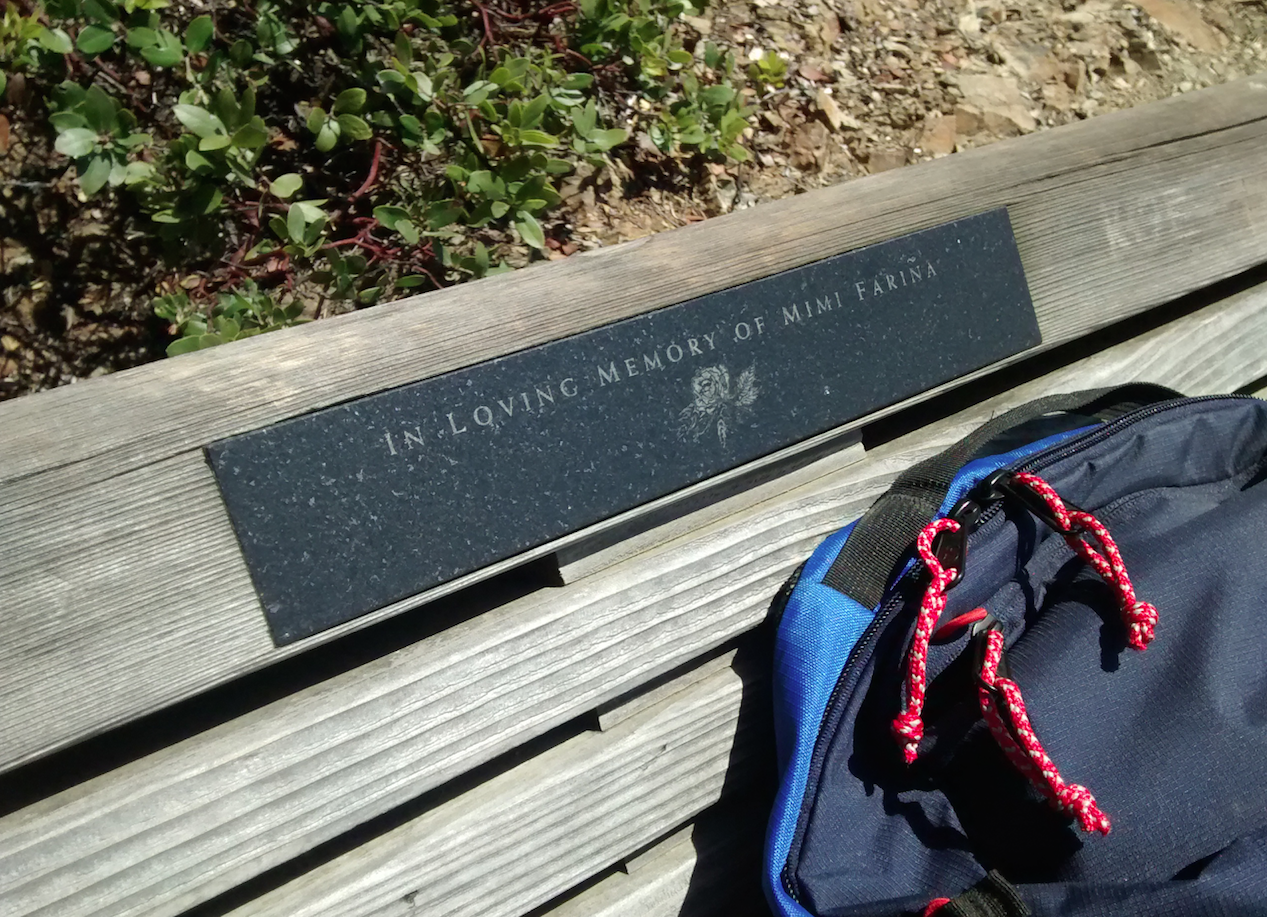
After a peaceful night's rest and before packing up to head home, we took a short morning stroll. We were rewarded with a bench to rest and enjoy the pretty view of the valley below.


Tuesday, November 24, 2015

Room with a View

The road up to Fremont Peak State Park isn't for the timid RV driver. Only small RVs should attempt the drive since the road is narrow and has many sharp turns in the road. The views are spectacular, and that is what makes the drive up to the park well worth the travel. We were fortunate to pick an Autumn weekend which few campers ventured out to this park. There were numerous families who had driven up to hike up to the peak to enjoy the million dollar view of the Monterey Bay and the Salinas Valley, but after they explored the peak they soon headed back down to home.


This is a view of Fremont Peak. Next to Fremont Peak are broadcasting towers, which provided us with great service. 


We were fortunate to get a site that was easy to back into and had wonderful views of San Juan Bautista area to the Monterey Bay.


A view of San Juan Bautista and Gilroy with the Diablo Mountain Range in the far back right side of photo and the Santa Cruz Range far back left side of photo.


The view from inside our trailer back window. Many of the oak trees had mistletoe, which my husband at first thought were large squirrel nests.


After exploring the park and discovering that dogs are not allowed on many of the trails (which isn't written on the park information site), we spotted our trailer while walking around the Oak Point campground. We were camped at the Valley View campground. It's sad that dogs aren't allow on many of the State Park trails in California, while young kids can camp and trash sites with their empty beer bottles, cigarette butts, and food waste. We cleaned up the site above ours since the trash was being blown all over the campground. We picked up three trash bags of litter. There was no park ranger driving by checking the park or cleaning up sites. 


After a very quiet night and a very lazy morning breakfast, we packed up and headed home. This is a view taken while driving back down the mountain. 

Would we come here again? Only in the late fall or early spring before other campers venture out. The road up has warning signs of icy spots along the road where water from springs wet the road; so, winter camping is out. The views are worth coming back for another peek; but sadly, the no dogs on trails would make me think twice about coming here again.

Monday, October 26, 2015

YOLO...

My husband and I went hiking and camping in Yolo County at Cache Creek Regional Park. We stayed at Cache Creek Campground, a hidden gem for us during our autumn visit. We were one of five campers in a campground that has 45 sites-totally sweet! The campground is located next to Cache Creek which runs through a beautiful canyon.


A view from our campsite of Glascock mountain which forms one side of the canyon. 


Even though California is still in a severe drought, the Cache Creek had water flowing down the creek. Surprisingly the water is very clear and refreshingly cold.


After setting up camp, we headed down the road for a hike to Frog Pond, which is on the opposite ridge from Glascock mountain. The hike starts at the Road 40, or Rayhouse Road, parking lot. We crossed a bridge that one can no longer drive over. The county is in the process of building a new road next to the old one.


We followed the dirt road up to a pretty stone barn, which we walked around.


From there we headed up the dirt road to the Frog Pond trail. Just at the upper bend of the road (in photo below), we saw three BMW bikers enjoying a ride through the ridge. They waved to us as they passed us going down hill.


We then started our climb up the ridge. Partway up, we were able to see views of the canyon looking east and where we parked our car. 

We continued the hike under a canopy of trees. After approximately .6 of a mile, we came to a clearing on top of a ridge. From the ridge, we were able to view the campground below...


...and views of the canyon north.


We hiked about another .7 of a mile to the pond. To our surprise there was water still in the pond.


We will have to come back in the spring after a wet winter to see this pond when it is full. I'm sure it will be gorgeous and be full of frogs and tadpoles. We started to do the remainder of the loop hike, 1.5 mile, but we changed our minds on the rest of the loop since the map I had with me wasn't detailed enough (the map below is much better). Each sign post we came to just stated "trail" and had arrows pointing in two directions. There were no names of the trails posted on the signs or mile markers. There was one sign stating entering BLM. 


We walked this section of BLM (above photo) until we decided to turn around and head back the way we came. Better to be safe than sorry; plus, it was getting late in the day. So, we headed back down the ridge and to the campground where we soaked our tired feet in the cold, creek waters. My husband can be identified in the picture below. He is holding the small speck of blue towel while walking along the beach. It gives one a scale of the hillside on the opposite side of the creek. That hill is massive and very steep.


Total miles hike were about 4.5 miles.


Would we come back again to camp and hike this pretty area? You bet we would! We are looking forward to a spring visit, crossing may small streams along the trails, and looking for tadpoles and frogs at frog pond.


Monday, September 21, 2015

Wright's Beach

My husband and I decided we wanted to get away since the weather forecast in town for the weekend would be temperatures around the mid 100s. Yes, someplace cool would be nice! I looked online for places where the weather would be cooler with available campsites. I didn't expect to find an opening at Wright's Beach on the Sonoma Coast. Luckily for us there was one site open, site #13 a drive-through. This site is more exposed than some of the other sites, but we situated the RV to block a site behind us.


Since the site across from us only had a person tenting, we were able to see the ocean from our site.


The greatest reward to this campground is the wide beach...and I mean wide. This is looking down the coast, south, towards Duncan's Landing.


And this is looking up the coast, north, towards Jenner. The tire tracks in both photos are from the lifeguard who was there to rescue anyone thinking of taking a swim on this warm day. It was 82 degrees at the beach, but nobody was foolish to try swimming in the waves on one of California's most deadliest beaches. Those waves look inviting, but there are dangerous rip currents which would sweep one under -plus the water is freezing. Even at the park's kiosk, the ranger warned not to go in the water.


This is looking into the direction of the campground. The campground is nestled in the green of trees.


Crashing waves at Duncan's Landing are beautiful and fun to watch. One brave soul was swimming in the waves close to shore keeping a friendly eye on us. Sadly, I couldn't capture a decent photo of that curious seal.


Our walk along the beach took us up the coast where we found a set of stairs and a path up the hill to...


the Kortum trail; a coastal trail that starts a Wright's Beach and travels north to Blind  Beach and Goat Rock.


We found the trail post and headed back to Wright's Beach campground.


The trail started out as a dirt trail, but shortly it became a boardwalk.


Just one of many pretty plants in bloom.


We continued our journey across the board walk looking at the vegetation and wondering what type of animals were hiding under the plants during the day.


The boardwalk ended at a road, which we then followed back to camp. From the road you could see the beach and Duncan's Landing.


We hiked this trail twice going in the same direction from beach up to bluff. It wasn't until the second trip that we discovered at the trailhead at the Wright's Beach parking lot that there was a sign stating no dogs allowed on the Kortum Trail. There wasn't a notice at the post coming up from the beach...oh well. Along the bluff was one last resurrection lily from a group of bulbs showing off its beauty and for one to admire its glory.


While at the bottom of the bluff, the vegetation had already turned brown, orange, and red.


With two hikes in one day of walking the beach, climbing the bluff, and traveling back to camp, my feet were tired. The evening was spent looking for shooting stars and admiring the Milky Way.
We will definitely come back to this wonderful campground.


Sunday, September 6, 2015

A Peaceful Walk in the Woods

This is the second time I have traveled this path. Both times has brought me great joy walking through the many diverse ecosystems of this area.


The start of my hike is a descent.  The trails quickly changes to walking under a canopy of  young redwood trees.


I stop to listen to the forest.


After reaching the floor of the evergreen woods, I walk along the boardwalk to quickly leave the hustle of the Muir Woods.


I start my ascent through the deciduous forest.


The climb out of the forest brings me to an interesting place.


The view from the wooden walkway is the true beauty of this spot.


I enter the forest again to continue the climb.


Many steps later, I'm rewarded with a spectacular view. Somewhere out there is the ocean.


A touch of color among the harsh browns delights me.


Back under the canopy with what looks to be Bavaria, I continue the climb.


I'm surprised at how quickly the landscape changes.


Just at the top of the trail awaits a wonderful bench.


I sit to take in the view from where I have traveled. 


Just before my journey ends, I'm rewarded with another beauty of life.