Tuesday, November 18, 2014

Brushy Peak Regional Preserve

This was the first time for us to visit Brushy Peak. The peak is that hill dotted with green.


We headed out on Brushy Peak Loop trail that starts off by the pond that is now all dried up because of the severe drought.


Ming and Meeks with the dried up pond on the left of the photo. The hills are so brown. As we make the gradual climb we start to see man-made trees on the right of us and...


trees to the left of us. We pass this grove of eucalyptus on our left as we make a steep ascend up that hill. The trail is on the other side of the grove, which is difficult to see from this view.


We make it over that hill and take a slight descent before climbing Brushy Peak. Some nice runner saw me taking a picture of Ming and volunteered to take a picture of us.


We start the climb, and I turn to take a peek back.


As we climb higher, we are rewarded with a view of Livermore and beyond. It's truly brown and barren here. Only the oaks and the ground squirrels seem to be thriving in this drought.


Quickly the terrain changes, and we are hiking between rocks and oaks.


I'm enjoying the diversity of this trail. There are some huge boulders that will make a nice place for a picnic on a future hike that we plan to do. We continue along the Brushy Loop trail making our descent.


At the junction of Brushy Peak Loop and West Side Loop, we take the trail to the left of the map and make our last ascent for the day. As we climb this hill we look back on the descent we made on the Brushy Peak Trail.


Shortly after reaching the top of the hill we see the parking lot.


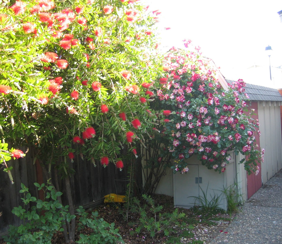
One lonely plant showing off her beauty to the traveler that passes by.


Total miles hiked: 4.40.


Wednesday, November 12, 2014

Del Valle Regional Park

My husband took Monday off, and we went for a hike at Del Valle. I have only hiked a small portion of this park by the dam about 8 years ago. I remember that hike as a rigorous climb. This is a park that is heavily used by fisherman and folks cooling themselves off on hot summer days. There is a large camping area too.


The water level is extremely low. I was told that this is a back-up reservoir. The area on the left of the photo by the water's edge that looks like a brown mass of land that runs up to the tree line was once under water. It better rain a lot this winter or California is in big trouble next summer.


Our hike started with a climb up Squirrel Gulch trail from the parking lot by the boat launch. The photo of the lake above was taken from the top of the ridge. We then meandered down the other side of the hill under the canopy of some very sad looking California Oaks. After a slight climb back up to Ridgeline trail, we proceeded to make left turns at the trail junctions until we reached the Hetch Hetchy trail.


We made a left and walked a short way before taking a seat on a bench for a much needed rest. After taking in the views, we descended to the shores of the lake.


We completed our hike along the Shore trail. There were numerous kayakers and folks fishing out on the lake. Total miles hiked were 3.43.  We took a drive over to look at the campground. There is no cell phone reception, and most of the sites were close together. Half of the campground was closed. The only two sites that we would consider for camping were sites 33 and 34 since those sites have some privacy. The campground is pricey, but it would make for a nice stopping place for those traveling through since dogs are allowed on trails.

Tuesday, November 4, 2014

Liberty Glen at Lake Sonoma

Lake Sonoma is man-made reservoir that was formed after the US Army Corps of Engineers built the Warms Springs earth dam across the Dry Creek in 1982. This is one of California's younger reservoirs. To reach the lake and campground, we drove through the Dry Creek Valley that is dotted with world famous vineyards. This drive in the autumn is beautiful since the leaves on grape vines are red. After the climb out of the valley and crossing the bridge over the reservoir, we were rewarded with a beautiful COE campsite to enjoy for the evening.


There are 96 campsites at Liberty Glen. Since very few folks were camping, we were able to pick our location without great trepidation over who would be next to us. Two sites down on the left was a young couple camping with their little tyke, and nobody for eight campsites to the right of us. All was quiet! This is the road just out of our site.


After quickly settling into the camp, we headed off for a late afternoon hike. We started our hike around 3 pm. After checking the map to make sure we were headed on the correct trail, we make our way.


We started our descent to the lake by way of the Madrone service road. This is a view from the top before heading down.


As we make our leisurely walk down, we disturb a family of deer that were enjoying the sunshine. They went running off after they heard us coming.


Our hike takes us past many beautiful Madrone trees. This nicely shaped one is a very young tree.


The Madrone tree, Arbutus menziesii, is a very drought tolerant tree that has a very prominent red bark. Here is a very much older Madrone that has some Spanish moss growing on it.


Spanish moss isn't really a moss, but an air plant, bromeliad, that likes to suck the life out of trees. This close up of the Spanish moss shows it growing on an Oak.


Our first sight of the lake from the trail. Sadly, the lake is very low due to the drought.


We come to the junction of the Rancheria trail and the Cove trail. We take the trail to the right, Rancheria trail. It meanders along the side of the hill with views of the lake below.


The side of the hills are dotted with Madrones and Oaks. We continue for 1.85 miles until we reach a spring and the trailhead that will take us back to the campground. The climb up Wulfow shortcut is mark as a "death march", but we didn't find the climb to be as strenuous as the climbs we made at Las Trampas (those were killer climbs).


The total hike was over 4 miles round trip from the campsite. As the evening air turned cold, we returned to camp.


Later we sat in our dinette eating a hearty chicken vegetable soup while admiring the view from our campsite.


Liberty Glen campground was a very pleasant surprise for us. I would come back to camp here again in the autumn, winter, or early spring. There are trails that connect together to form one long trail that circumnavigates a portion of the lake. I would be satisfied with just exploring the Dry Creek trail down to the lake on the next visit.


This gem of a lake is nestled in a very beautiful area.


Sunday, November 2, 2014

Blind Beach

These are some of the photos from our walk on Blind Beach two weeks ago when my husband and I made our "shakedown" RV camping trip at Duncan Mills. Jenner is just 10 minutes down the road from Duncan Mills. Blind Beach is one of the few beaches that allows dogs on the beach around Jenner. This is a view from one of the parking lots.


We took the hike down the cliff to the beach. The weather was warm that day, and the sand felt wonderful to walk on.


While walking up and down the beach, we noticed some interesting rock formation.


The walk ended with the waves crashing hard against some rocks which scared Meeks into not wanting to continue the stroll. She was looking for the path back up the cliff.


One last look at Blind Beach and beyond.


Tuesday, October 21, 2014

Duncan Mills

We took TT out on the shake-down trip this past weekend. Part of the purchase package was a free night at Duncans Mills Camping Club along the Russian River in Duncan Mills, CA so that we could check for anything that needed addressing on the travel trailer for the dealer to fix.


MeeOk enjoyed the view of the river. I think she was watching for those annoying frogs that kept jumping into the river. For an RV campground, the sites were nice, but I still prefer a boondocking site.


This was the best site of the campground since it had a view of the river and easy access since it is a pull-through site. Fortunately for us the campground was mostly empty; so, the sites on either side of us were empty.


We explored the campground while walking MeeOk. This was down by the beach area where one could launch canoes and kayaks.


The cute depot that was built in 1907 is now a museum. Duncans Mills got its name from two brothers by the last name of Duncan that started a lumber mill in this area. In the town's heyday, tourists from the Bay Area would travel to town by train. It was once a getaway spot that had four hotels, restaurants, and a saloon for travelers that came to enjoy the Russian River and fishing. By 1935, the town had declined and fell into disrepair. Sometime in the 70s the town went through a restoration and folks started to travel again to enjoy the town and surroundings.


After our visit to the coast (which I'll post next), we relaxed at camp and snacked on goat cheese, gorgonzola, crackers, and tomato and mozzarella salad.


This was our view from the camp chairs. We had fun watching kayakers and ducks traversing the river.


The picnic table was never used since we ate dinner around our dinette. A future blog will show the inside of the cute TT.

Monday, October 20, 2014

TT's New Home

The week of October 6th was a busy week lining up workers to remove and haul away a shed and installing new gate doors to the fence so that we can park the trailer trailer behind the fence. This was what the area had looked like with the shed.


The roses made the shed look pretty. But truth be told, the shed was rotting away at the base, and the shed was at a point of needing work or being torn down. So, no great loss except for the climbing rose.

We were not able to pick up TT until October 9th; so, that gave me time to do some work of ripping out plants in the front side. This was some of the plants that were removed.


This photo was from last year when we were not in a severe drought. The plants were not as pretty looking when I removed them. So, don't sigh and think she is nuts. Since the plants didn't look very pretty, it was very easy to remove them. This is what it looks like right now, but later I will landscape with my favorite no-mow, low, ground cover dymondia margaretae aka silver carpet. I plan to put down plastic pavers that can be filled in with dirt and the silver carpet. That will look better than filling the area in with concrete.


The best little TT had to sit out front for two days while the fence work was being done. Here she is waiting to be parked beside the house.


Once the fence work was done, we then had our first challenge of backing the TT into the spot beside the house. That took about an hour. Backing up into a snug spot isn't easy. My husband did an excellent job for first time backing!


This is how TT looks from the street. Yup! The best TT is sitting in that snug spot waiting for our first outting.