My husband said "I'm a creature of habit" when I told him we are headed to Clark Fork Campground.
We even got the same site we did eight years ago when our daughter went camping with us in August 2016.
We were last here in August 2020 with MeeOk. Yup, seems ever four years and in August when school has started and most of the kids are back in school. Mainly just old folks or families with young kids camping in mid August.
The next day we headed to the end of Clark Fork road to hike the Disaster Creek trail. From the map it looked like an easy three miles out and back along the creek. The plan was to go as far as the junction post at 3 miles.
What I didn't realize was that the start of the trail is a steep climb up with many switchbacks on the west side of the Iceberg. And that the creek flows down in elevation to the parking lot.
From the Iceberg the climb became less strenuous, but still an ascent.
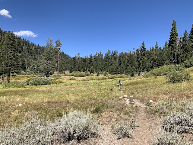
Once we hit the meadow the trail leveled. The trail junction was at the far end of the meadow, but somehow we missed it. We believe the post was down and later when we were deeper into the woods someone else saw the downed post and re-erected it.
Because of missing the post, we continued on another 1.5 miles until we came to the conclusion that we had somehow missed the trails' junction. Since the trail looked less traveled and the growth was getting more dense, we turned back. On the return was when we saw the post and the junction for the trails. I also spotted the tip of the Dardanelles while crossing the meadow. During the hike, I spotted numerous California native plants. One, is one of my favorites, the California Columbine. The first for me to see it so plentiful in it's natural habitat. We can now check off that we did 9 miles roundtrip of the Disaster Creek trail and it wasn't a total disaster!


