Went back to Ironhorse campground at New Melones Reservoir since we were in need of a couple of days of "different wallpaper".

It was the first time staying at site 40. All of the sites that we have stayed at in the past were already booked. Site 40 doesn't have a view of the reservoir....

...but it did provide us with wonderful entertainment of a colony of blue herons. Blue herons tend to be solitary birds, but during mating season they come together to form a colony with lots of nests. This colony seemed to have about 6-7 birds. They would fly in just an hour before sunset.


We were close to the one tree when the slide was out. Sadly, no critters or birds came to check us out or visit the tree. At night we did hear the owls calling to each other. I love the hoot of the owls, so peaceful.


This stretching of the Angles Creek trail is so peaceful. Sometimes a boat motoring would go by, but most of the time the only sound came from the cow bells from the hill on the other side of the reservoir.

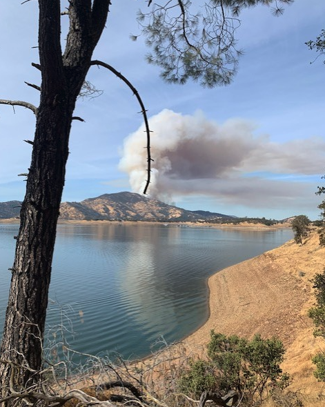
A very needed rest stop at the closed boat launch by Angles Creek was taken before heading back to camp. We saw some folks fishing in numerous places as we hiked.